
metroBus Project Information
Archived information for the metrobus construction project.
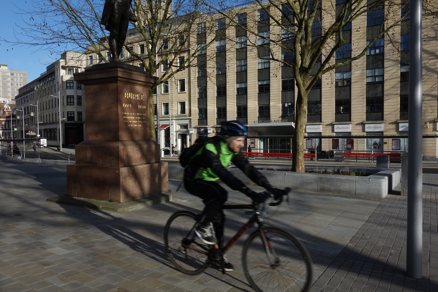
Cycling and Walking
We’ve made it quicker, easier and safer to travel by bike or on foot.
Bristol City Centre
We have made major improvements to Bristol City Centre by reducing traffic and creating more space for people who and cycle.
South Bristol
The South Bristol Link connects Hengrove to the Park and Ride at Long Ashton. A shared cycle and footpaths runs along its 4.5km length. The path links with the Festival Way and Malago Greenway cycleways.
Long Ashton Park and Ride to Cumberland Road
A new traffic-free two and a half kilometre cycle path alongside our busway connects with Festival Way, the Harbourside and the local cycling network.
Harbourside and Avon Crescent
A new traffic-free underpass provides safe access from the Create Centre to the Harbourside.
New safer crossings at Avon Crescent and Cumberland Road link the Harbourside, Avon Crescent, Ashton Avenue Bridge and the Create Centre.
A new access ramp from Cumberland Road will allow easy access to the Chocolate Path by Avon Crescent.
Bathurst Basin to Redcliff Hill
New crossings have made it easier for pedestrians and cyclists to move between Cumberland Road, Bathurst Basin Parade, Wapping Road and Commercial Road.
Redcliff Hill
New spaces for cyclists and pedestrians connect Redcliff Hill with other cycle routes into the city including the Brunel Mile; that stretches from Bristol Temple Meads to the city centre via St Mary Redcliffe Church.
We’ve also improved crossings at St Mary Redcliffe roundabout and Bedminster Bridge and built a dedicated cycle route and improved pedestrian path between Bedminster Bridge and St Mary Redcliffe Roundabout.
North and East Fringe
We’ve built new cycle lanes and improved crossings on the existing cyclepath between Bromley Heath and Wick Wick roundabouts.
New cycle stands
All 79 of our bus stops have cycle stands.
Quality Partnership Scheme (QPS)
metrobus services will be run entirely on a commercial basis via a Quality Partnership Scheme (QPS).
The Scheme sets minimum standards for frequencies, quality of vehicles and maximum fares and is supported by a Voluntary Partnership Agreement with metrobus operators.
Bristol Community Transport will operate the m1 route. First Bristol will operate the m2 and m3 routes. (please note that as of 5th September 2022 First Bus is the operator of the m1 route).
Quality Partnership Scheme (QPS) Download pdf PDF approximately 1.1 M
metrobus Build
metrobus services will be run entirely on a commercial basis via a Quality Partnership Scheme (QPS).
Jump to…
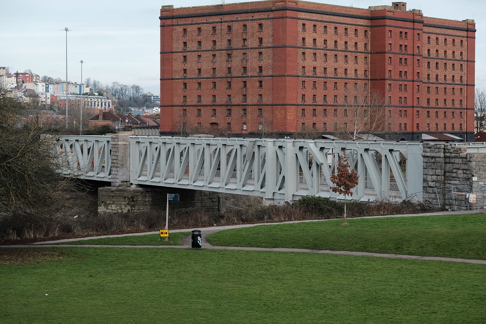
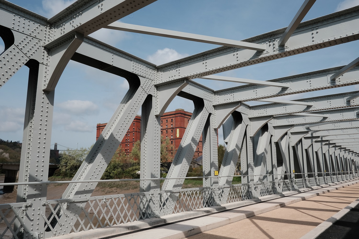
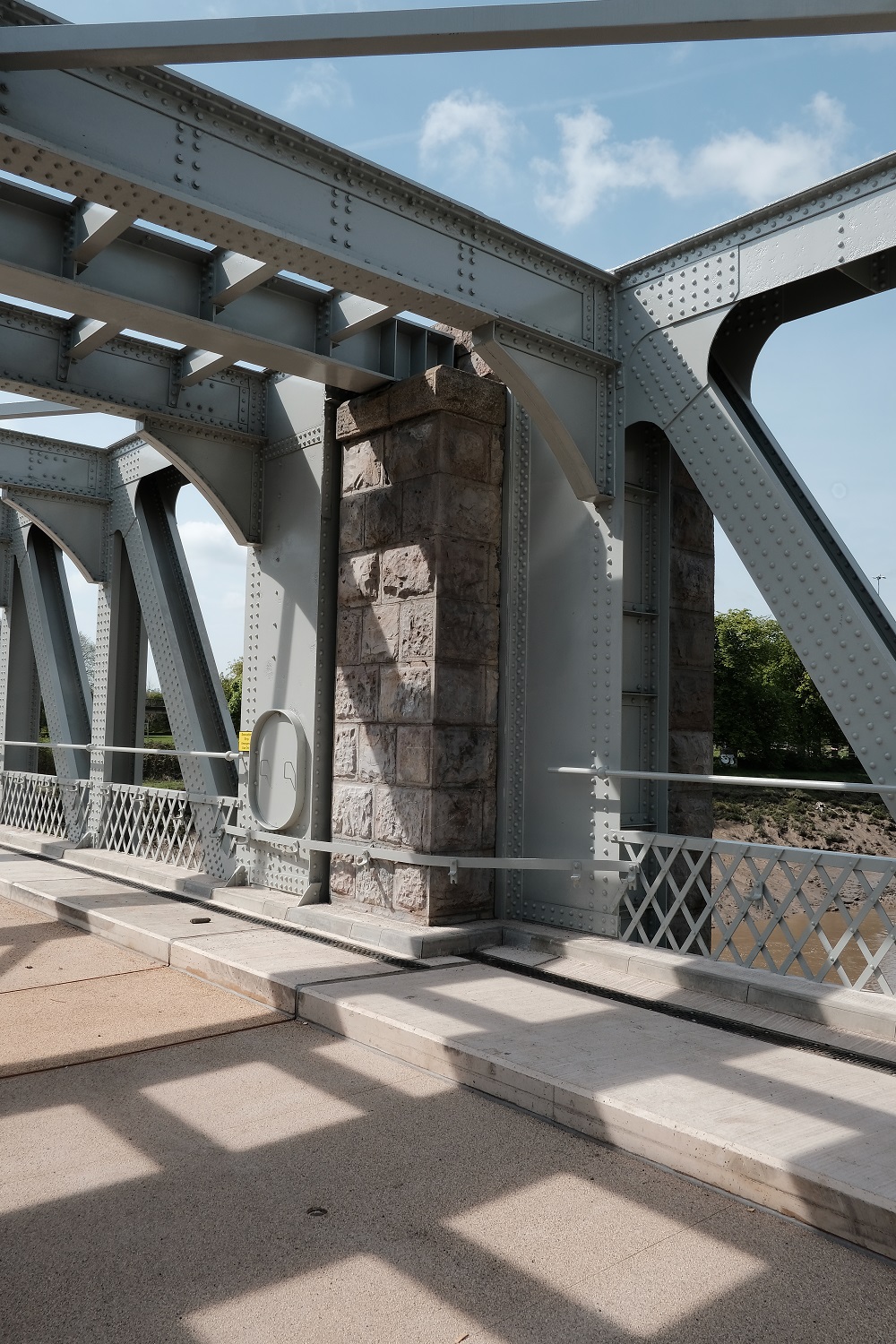
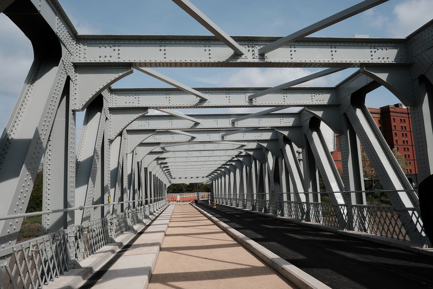
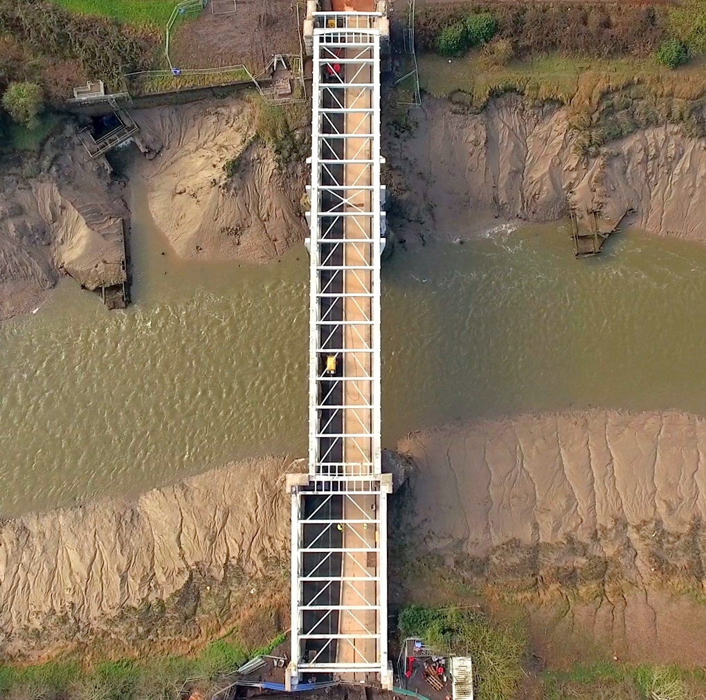
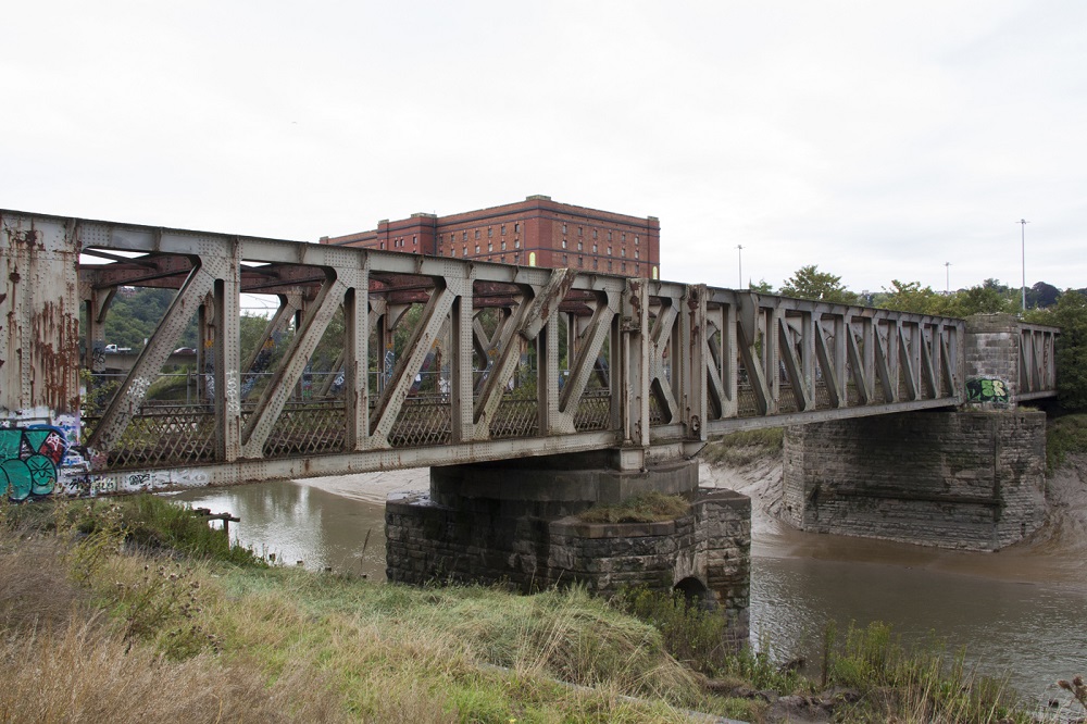
Ashton Avenue Swing Bridge
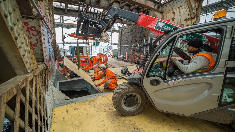
metrobus has restored a 110 year old Grade 2 listed bridge in South Bristol.
Before the MetroBus restoration, the Grade 2 listed bridge was in a very bad condition with clear signs of structural instability. MetroBus’ refurbishment has completely transformed the bridge and preserved an important part of Bristol’s walking and cycling infrastructure for future generations. The bridge now has a 3.5 metre pedestrian and cycle track that is wider, smoother and safer than the previous path.
Construction work will continue at either end of the bridge after the reopening. The busway on the bridge will be fenced off until testing for MetroBus’ guided buses starts this summer.
Before the busway opens the path that runs parallel to the river and links with the Pill path will be slightly realigned near the bridge to improve visibility for all users. There will also be a break in the busway to allow pedestrians and cyclists to cross.
When services start MetroBus will use a separate single signalled lane on the bridge.
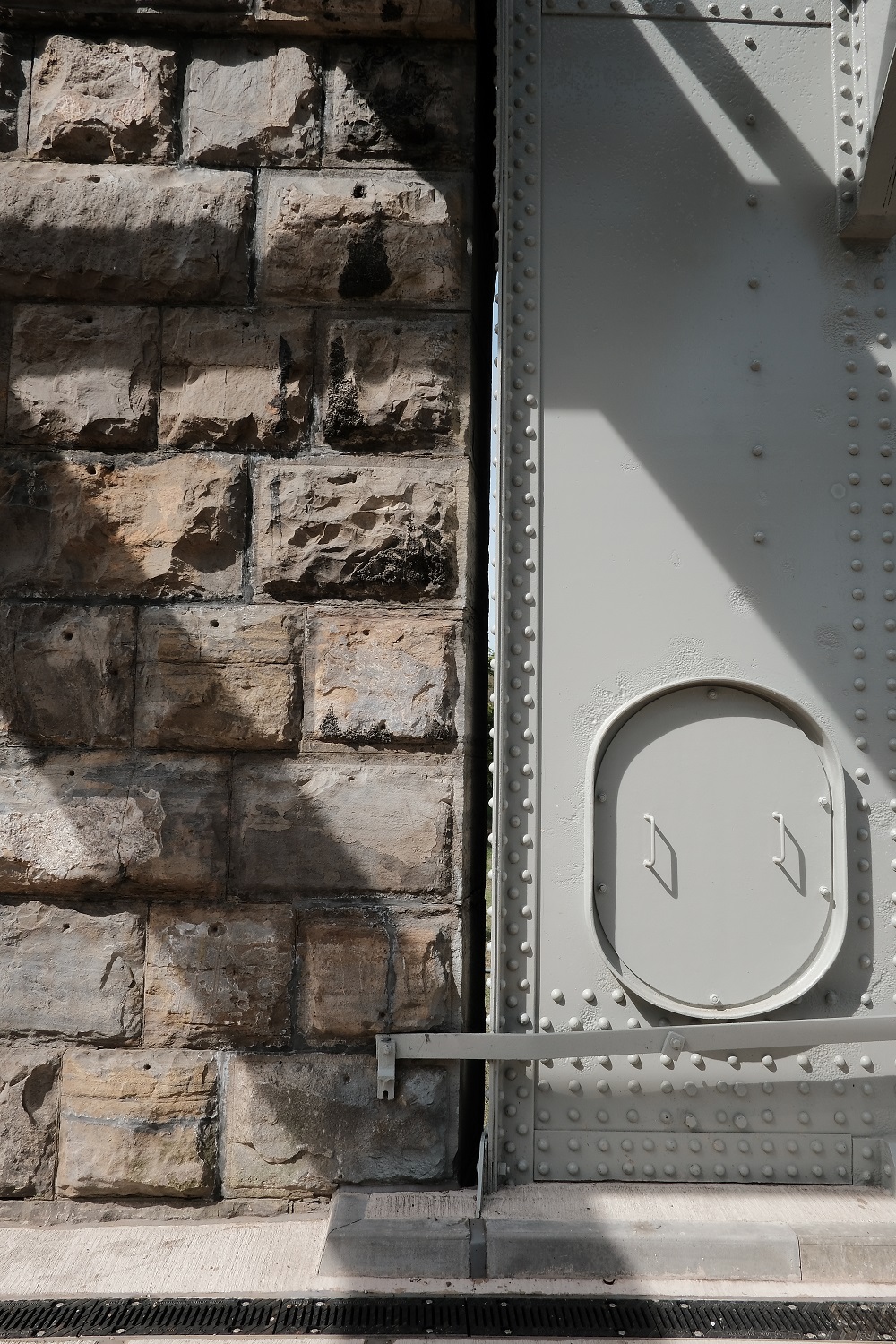
Photos of the refurbished bridge
Did you know?
The former double-deck road and rail bridge was constructed as part of the Bristol Harbour Railway. Construction started on the bridge in 1905 and it opened a year later in 1906.
The original bridge comprised of 1,500 tonnes of metalwork. Its length is 177 metres.
The bridge cost £70,389 to build in 1906 which is equivalent to £7.6 million in the present day.
The bridge opened on average ten times a day until 1936. It became a fixed structure when it was secured into its current position in 1951.
The bridge had an unusual top deck which carried road traffic out of Bristol. The road deck was removed in 1965 following the completion of the Cumberland Basin road network.The bridge was used by freight trains until 1985.
English Heritage made the bridge a Grade 2 listed structure in 2000.
Know Your Place
More historic photographs of the bridge and the local area can be found on the Know Your Place website. Know Your Place allows you to explore your neighbourhood through historic maps, images and linked information. The website also allows you to share your own information and images of historic Bristol.
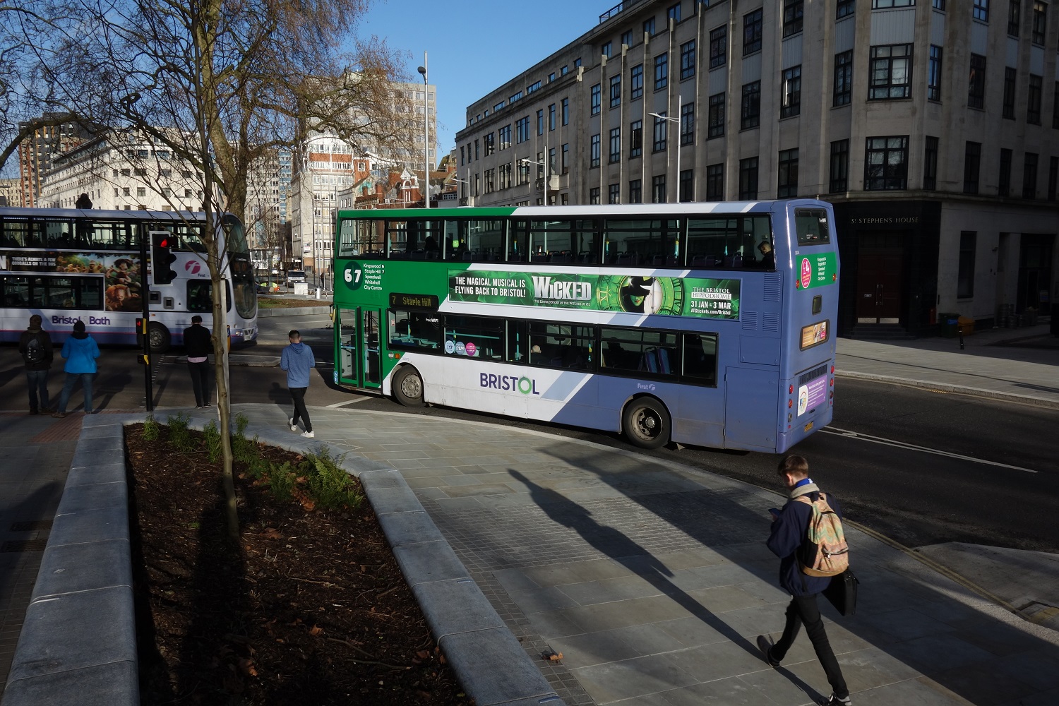
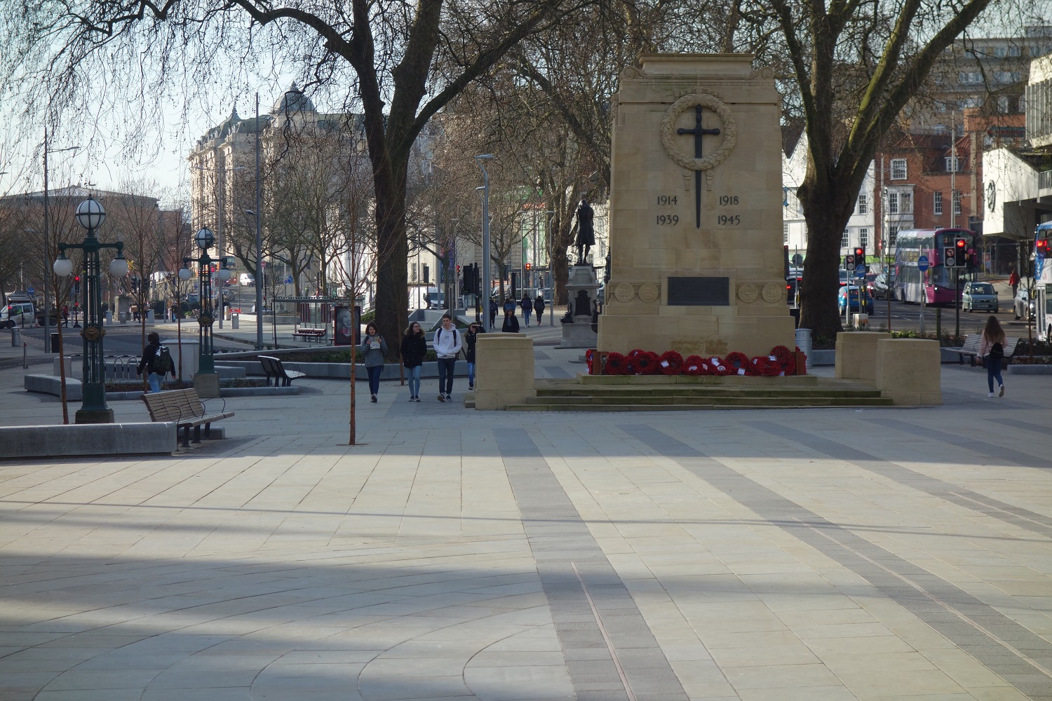
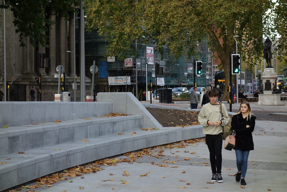
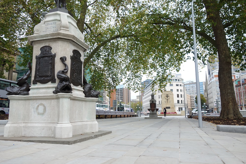
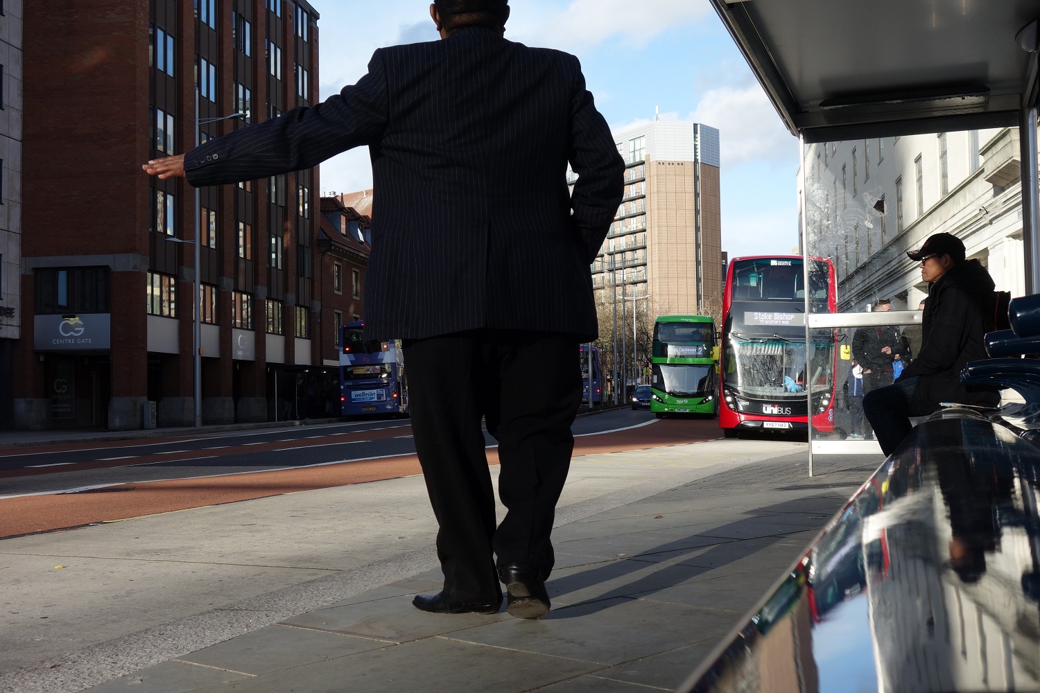
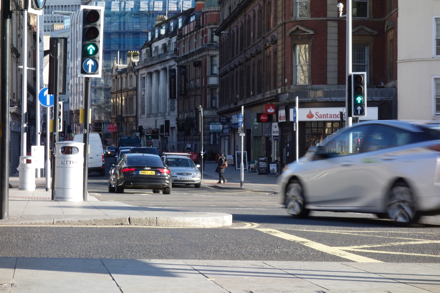
Bristol city centre improvements
Major changes have reduced congestion and improved public space.
New city centre road layout
In April 2017 we opened a new road link between Baldwin Street and St Augustine’s Parade which changed how traffic travels through Bristol city centre.
The change was designed to simplify traffic flows for motorists, reduce congestion and create more space for public transport, pedestrians and cyclists.
The changes have:
- Simplified the layout of the city centre;
- Made the key traffic movement from Anchor Road/Park Street to Baldwin Street more direct;
- Reduced the overall number of traffic movements through the centre, enabling it to draw traffic from other congested routes when necessary, relieving pressure on the city network;
- Diverted through-traffic to more suitable routes;
- Created simplified, largely segregated routes for buses, pedestrians and cyclists.
The previous city centre layout with the scissors junction and circulatory system meant that the city centre was prone to locking up when incidents occurred or when traffic volumes become heavy. This caused traffic problems in other parts of the city and led to widespread congestion.
City Centre image galery

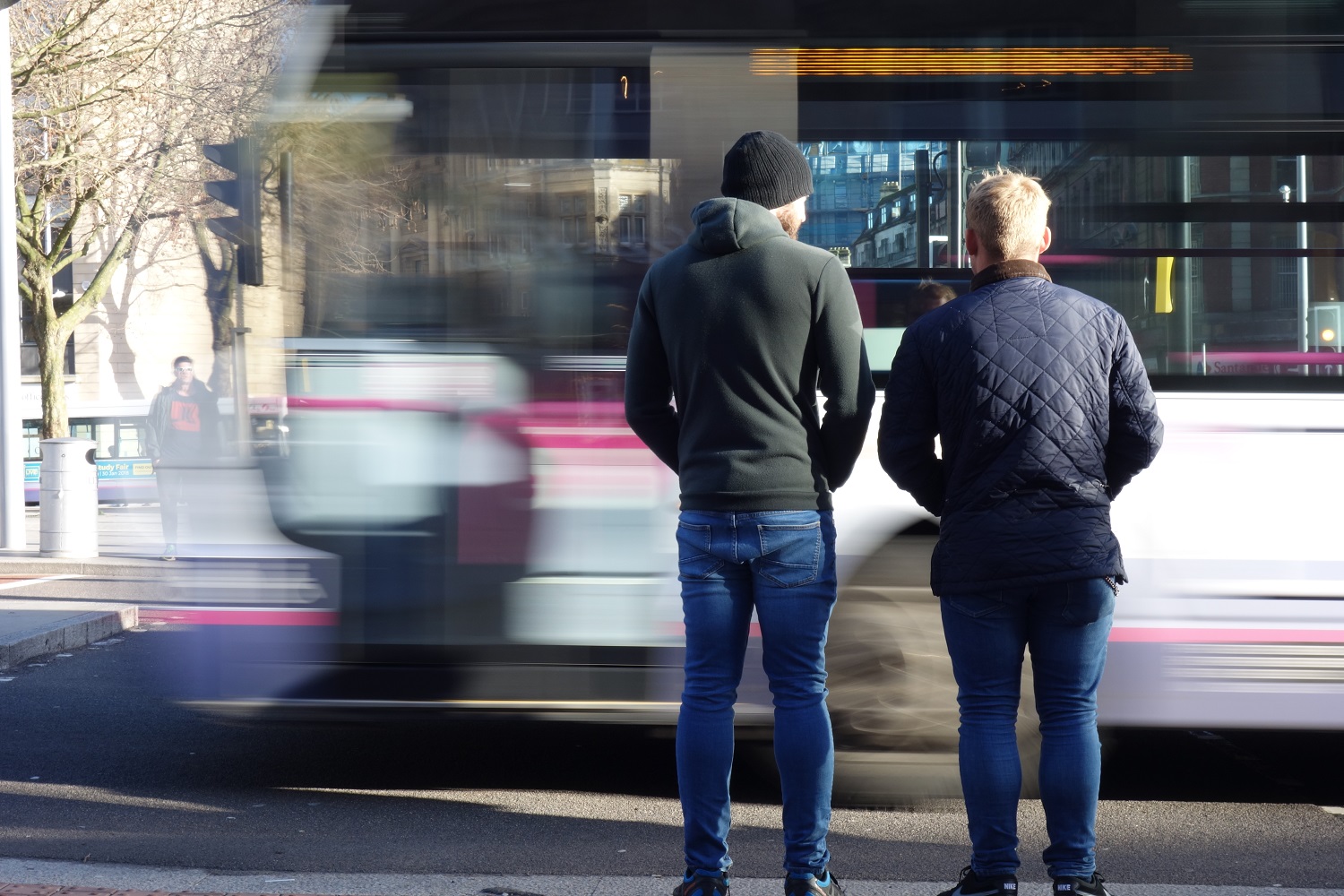
Bus journeys now quicker because of metrobus improvements
In January 2018 First West of England changed the service timetables of 60 of their routes. The changes are to reflect the quicker journey times which are a result of the MetroBus city centre improvements.
The changes we made to Bristol’s city centre, which segregated buses from general traffic and simplified routes for motorists, have dramatically improved journey times for bus services that travel through the centre.
Bristol City Council have also reported that the city centre changes have also cut journey times for motorists travelling through the city centre.
Traveling from the end of the M32 motorway to Anchor Road used to take 13 minutes in the morning peak. This journey now only takes six minutes. The same journey is quicker in the evening peak too, it used to take 12 minutes and now takes seven minutes.
The time savings are as a result of our changes to the layout of the city centre which reduced congestion by simplifying traffic movements. The changes have also meant that traffic no longer comes to a standstill in the centre when incidents occur or when traffic volumes become heavy and that Bristol’s wider road network can cope better if traffic is bad in the city’s central area.
M32 bridge
In June 2016 we lifted a new bridge into place over the M32. The motorway was closed for a weekend to allow the bridge to be safely lifted into place.
The works to install the bridge were completed to schedule and the motorway reopened on time at 6am on the following Monday. This was the first weekend closure since the M32 originally opened in 1966.
The bridge consists of two pairs of braced steel beams which are 36.26m long and each weigh 70 tonnes.
Partnership working
Bristol City Council, South Gloucestershire Council and their MetroBus teams worked closely with Highways England to minimise disruption so that the works were completed as quickly and efficiently as possible.
The work took place at the weekend when traffic flows are 20% lower than on an average weekday.
To reduce the need for further closures, Highways England carried out survey work at Eastville viaduct whilst the MetroBus bridge works were carried out.
Mark Driscoll, emergency planning manager for Highways England, said: “We’re pleased to say that the messaging and communication proved effective ahead of the weekend closure, and motorists were able to plan their journeys into and out of Bristol while the MetroBus bridge was installed over the M32.”
Rapid and reliable
The new bridge is part of a coordinated package of bus lanes and infrastructure between the University of the West of England (UWE) and the city centre that will ensure MetroBus services are rapid and reliable.
These new bus priority measures will mean that some bus journeys between UWE, Bradley Stoke and the city centre will be up to 30 minutes quicker than existing bus services.
Archive Papers
metrobus has been through a rigorous approval process in order to demonstrate that it will bring benefits to the communities it serves and support the economy of the West of England.
Below you can view documents about the permissions and funding for each part of the metrobus network. Please note that this is historical information, for up to date information about the network please see the main metrobus section.
Jump to…
Ashton Vale to Temple Meads
Long Ashton Park & Ride to Bristol city centre via Temple Meads.
Transport and Works Act Order
The Transport and Works Order for the Ashton Vale to Temple Meads MetroBus route was granted by the Secretary of State for Transport in November 2013.
The granting of the order followed the public inquiry into the scheme that took place in summer 2012.
AVTM route map Download pdf PDF approximately 958.33 K AVTM Inspector's report Download pdf PDF approximately 1.35 M AVTM Summary of inspector's report Download pdf PDF approximately 76.55 K AVTM Department for Transport's Decision Letter Download pdf PDF approximately 798.15 KMore information
- Funding
- Revised section of route planning application
North Fringe to Hengrove
Hengrove to the City Centre, the University of the West of England, the Science Park, Cribbs Causeway and Emersons Green.
Traffic Regulation Orders – informal consultation report
View the report on the informal consultation on Traffic Regulation Orders that took place from November 2014 to January 2015.
North Fringe to Hengrove TRO consultation report Download pdf PDF approximately 3.2 MFull approval
View the documents submitted to the Department for Transport for the full approval of the scheme. Some sections have been removed because they contain commercially sensitive information.
North Fringe to Hengrove full approval application form Download pdf PDF approximately 829.32 K Annex 1: Value for money Download pdf PDF approximately 6.87 M Annex 2: SDI Analysis Download pdf PDF approximately 5.26 M Annex 2: Appendix A Download pdf PDF approximately 1.72 M Annex 2: Appendix B Download pdf PDF approximately 7.79 M Charlton Hayes Northfield: Section 106 Download pdf PDF approximately 4.38 M Charlton Hayes: Deed of variation Download pdf PDF approximately 6.11 M Emersons Green Gateway Download pdf PDF approximately 3.21 M Emersons Green East: Section 106 part 1 Download pdf PDF approximately 7.22 M Emersons Green East: Section 106 part 2 Download pdf PDF approximately 3.07 M Emersons Green East: Section 106 part 3 Download pdf PDF approximately 5.18 M Emersons Green East: Section 106 part 4 Download pdf PDF approximately 2.65 M Harry Stoke: Section 106 Download pdf PDF approximately 5.79 M Harry Stoke: Deed of variation Download pdf PDF approximately 5.72 M Annex 11: Planning conditions discharge Download pdf PDF approximately 485.61 K Annex 12: Evaluation plan Download pdf PDF approximately 1.51 M Annex 12: Appendix 1 Download pdf PDF approximately 95.95 K Annex 12: Appendix 2 Download pdf PDF approximately 660.13 K Annex 14: Benefits realisation plan Download pdf PDF approximately 660.65 K Annex 15: Stakeholder Analysis Plan Download pdf PDF approximately 364.76 K Annex 16: Communications Plan Download pdf PDF approximately 328.83 KMore information
- Planning application documents
South Bristol Link
The South Bristol Link starts at the A370 Long Ashton bypass and ends at Hengrove Park.
Bus services on South Bristol Link
We fully expect a future Metrobus service, alongside the Airport Flyer and the current Bath Airdecker, will use the South Bristol Link. MetroBus has been designed to be a commercial service that is operated without council subsidy. The public transport infrastructure the councils have built along the South Bristol Link will allow bus operators to run a commercial service as soon as housing development has taken place.
The South Bristol Link is doing what it was designed to do. It has removed traffic from unsuitable residential roads, reduced journey times and improved transport links for residents and businesses in south Bristol. Buses are already benefitting from quicker journey times thanks to the new road and reduced traffic in other areas.
Where high quality sustainable transport options, like Metrobus, are integrated into housing development at the planning stage or at the time of major investment they are well-used. It is much more difficult to ‘retro-fit’ sustainable transport into a development as travel habits will have already been established.
Construction has nearly finished on 82 homes in Imperial Park and Barratt Homes are about to start building 150 new homes on Filwood Green, an area of open land between Creswicke Road and Hengrove Way. Bristol City Council are planning for 2000 homes on the site of the old Whitchurch Airport and expects the first residents will be in the new homes by the end of 2020. Direct connections to the Metrobus network are included in the plans for each of the new housing developments.
Making sure that high quality public transport infrastructure is in place before housing means that people who move into these new developments are more likely to use the bus. Planning sustainable transport options as an integral part of development from the start can lead to healthier and happier communities where people have a genuine choice about how they get around.
There are also proposals in the Joint Spatial Plan and Joint Local Transport Plan for a new Park and Ride site on the South Bristol Link near the A38. Buses serving this proposed Park and Ride would use the South Bristol Link and serve the communities on it.
Bus services already using the South Bristol Link
The Airdecker bus service that runs between Bath, Keynsham and Bristol Airport has been using the South Bristol Link since it opened in January 2017.Bristol Airport’s Airport Flyer express bus service will start using the South Bristol Link and the Metrobus busway later this year.
Fact Sheets
Find out more about the South Bristol Link and how it was built
All about the South Bristol Link Download pdf PDF approximately 394.23 K SBL Construction facts Download pdf PDF approximately 794.02 K SBL route map Download pdf PDF approximately 311.54 KArchive papers
- Compulsory Purchase Order documents
- Planning application documents
921 Santas cycle the South Bristol Link
921 Santas cycled along the South Bristol Link before it opened to motorists in December 2016. Caring in Bristol, a local charity that look after homeless and vulnerable people in Bristol were collecting donations on the ride. Their volunteer-led projects include recruiting hosts for young and vulnerable people over the festive period.


